UK floods – in numbers
Check out the Channel 4 News infographic mapping the UK floods in numbers.

It began in December: the worst tidal surge for 60 years on 5 December, flooding in places as far apart as Scotland and Essex, and disruption across the nation’s transport network.
And it got worse. Severe weather and ensuing problems over Christmas left thousands without power for the festive period. January didn’t bring much respite: widespread flooding and flood warnings, with particular problems in the Somerset Levels.
On 30 January, the Met Office confirmed that it had been the wettest January since records began in 1910, with more than double the amount of average rainfall. Things worsened even futher in February, with wild weather hitting first much of the south of the country and then spreading to the north.
Read more: Channel 4 News floods timeline
Politicians got involved, with Prime Minister David Cameron taking charge of the government’s emergency committee, Cobra, and many of the party leaders donning wellies to go and see the damage themselves.
The severe weather continued throughout the first two weeks of February, bringing devastation in places including Tewkesbury, Dawlish, Chertsey, Wraysbury and Datchet.
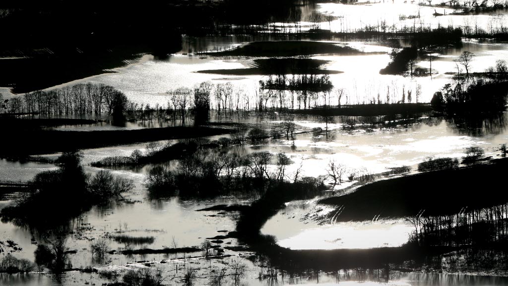
Now the wild weather is calming down, we’ve taken a look back at the floods in numbers (above). But it’s not over yet – many areas remain under water and there are warnings that it could be some time before the floods recede.
Read more: Weather Presenter Liam Dutton on the weather to come
-
Latest news
-
‘I violated my moral compass working for Trump,’ former lawyer testifies3m

-
Working class creatives in film and TV at lowest level in decade5m
-
Israeli police investigating attack on Gaza aid convoy4m
-
Biden announces major tariff increase on Chinese-imported green tech3m
-
‘If NHS can afford it, people with obesity should have Semaglutide,’ says weight loss expert5m
-


