Severe gales set to hit the UK from early Monday
A huge storm is set to batter the UK on Sunday night and Monday morning, bringing gales and downpours and causing widespread disruption.
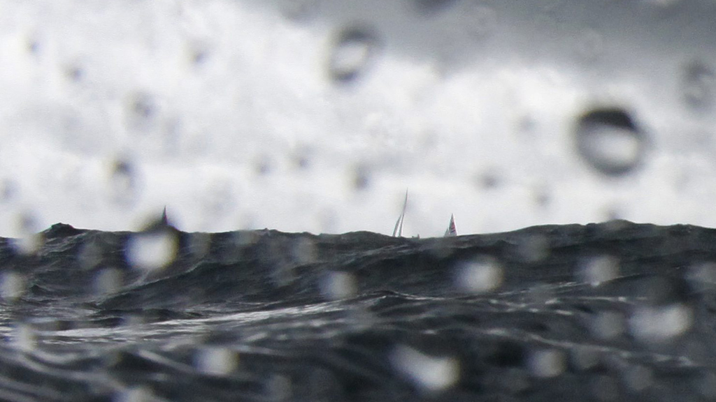
Winds could reach speeds of 80 miles an hour in parts of England.
The Met Office predicts that the storm will develop over the Atlantic on Saturday before potentially hitting the south coast on Sunday night and into Monday.
However – with some experts suggesting that the tempest has echoes of the great storm of 1987 – others are wary of making the same mistakes again by forecasting the wrong thing. Back then, weather man Michael Fish famously played down what lay ahead, but in 2013 experts are making sure to point out that the storm could miss the UK altogether.
People should be aware there is a risk of severe weather and significant disruption. Eddy Carroll, Met Office
But if it hits, it is likely to be the worst storm of the year so far. Gales of 80 miles an hour could bring down trees or cause damage to roads and buildings, hitting transport – particularly during Monday morning rush hour – and potentially causing power cuts.
The storm is set to hit the south coast particularly hard, with very strong winds on the coast and rain further inland. There is also a risk of flooding.
Developing storm
Eddy Carroll, chief forecaster at the Met Office, said: “This storm doesn’t exist at the moment, but our forecasts models predict it is likely to develop in the west Atlantic on Saturday.
“Then it’s likely to rapidly intensify just west of the UK late on Sunday before tracking across England and Wales early on Monday.
“There is still a chance this storm may take a more southerly track and miss the UK, bringing impacts elsewhere in northern Europe, but people should be aware there is a risk of severe weather and significant disruption.
“With that in mind, people should keep up to date with and act on the advice in our forecasts and warnings as the situation develops.”
Storms of this type usually form out in the Atlantic and lose strength by the time they reach land, but this one is expected to appear much closer to the UK than usual, when it is at its most powerful. A strong jet stream and warm air close to the UK are also contributing to the development and strength of the storm.
The Met Office has issued severe weather warnings for wind and rain for all of England and Wales for Monday, warning people to be prepared.
Keep up to date with the latest forecast with Channel 4 Weather
-
Latest news
-
Why is the UK not exploiting technology for net zero trains?6m

-
Hamas launches rockets at Tel Aviv after 81 people killed in Gaza3m
-
What are the politics behind Rishi Sunak’s national service plan?7m
-
Rishi Sunak pledges to bring back national service4m
-
Chelsea Flower Show: A sanctuary for survivors of torture3m
-


