
A weatherman’s tips on how to get through this week’s cold and snow
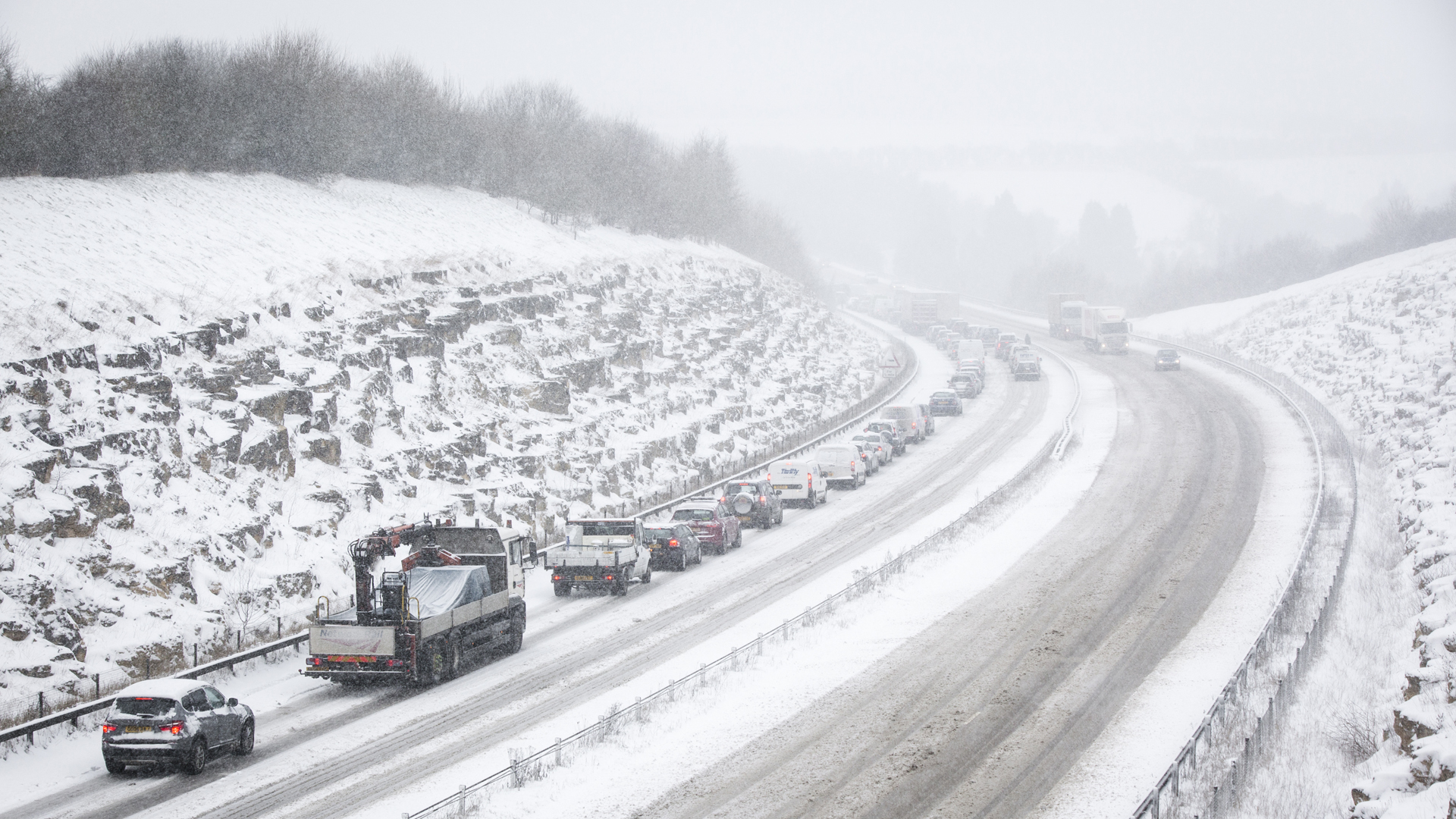
This week, the UK is set to have its coldest spell for at least five years, with sub-zero temperatures, hard frosts, significant wind chill and disruptive snow.
Already a number of Met Office weather warnings have been issued, with the worst affected areas potentially seeing as much as 20cm or more of snow by the middle of the week.
That’s before the possibility of widespread heavy snow spreading northwards later on Thursday into Friday, maybe giving blizzards across southern parts of the country.
With so much weather to get through this week, the thought of having to deal with severe winter weather on top of your daily routine can seem daunting.
Therefore, I thought I’d put together some useful tips that will help you stay up to date and be prepared for what’s to come.
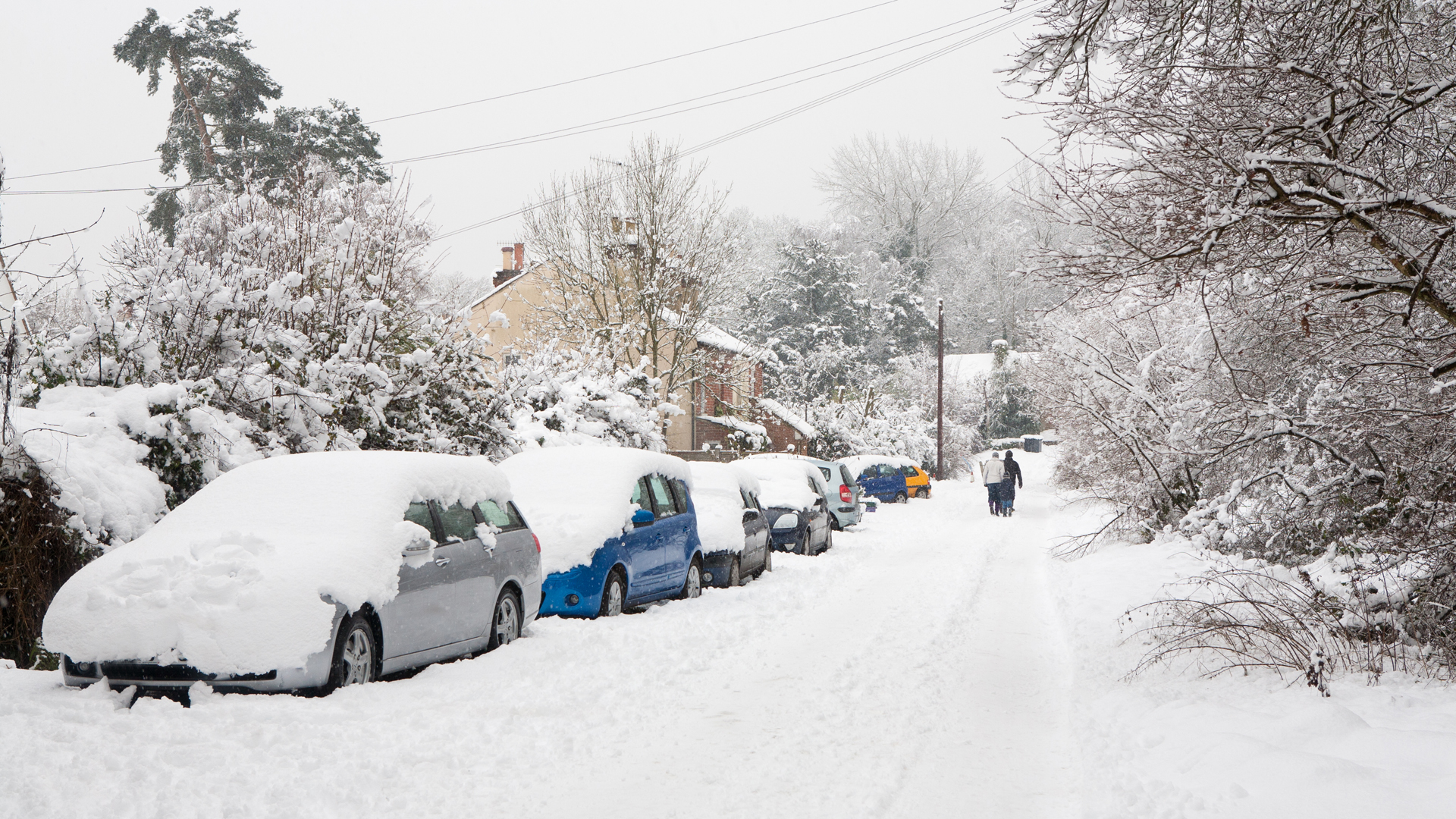
Snow amounts will vary a lot over short distances
From Monday to Wednesday, snow will generally fall in the form of showers, with some places seeing lots of showers, other places not so many and a few places none at all.
As a result of this, amounts of snow will vary hugely over short distances – at a smaller than county scale. When travelling, don’t assume that the amount of snow outside your window will be the same at your destination – even if only 5-10 miles away.
This will particularly be the case if you live in eastern coastal counties of England and Scotland. If possible, call someone at your destination before you leave to see how much snow is there, just so you know what to expect.
Check weather warnings before you travel
Make a habit of checking the latest weather warnings just before each time you travel this week.
Forecasting snow detail in the UK is challenging and things can turn out to be worse than expected sometimes, with warnings updated at short notice.
It can be tempting to look at the weather warnings once in the morning and not check for the rest of the day. This approach means that any vital updates and changes can be missed.
It only takes a few seconds to check them again and could save you a lot of time down the line!
Advice on interpreting warnings
The Met Office weather warnings will be updated throughout this week as the latest information becomes available and will be broadcast by the main weather broadcasters – including myself.
When there are a lot of warnings, the Met Office weather warnings map can be quite daunting to look at and garner information from.
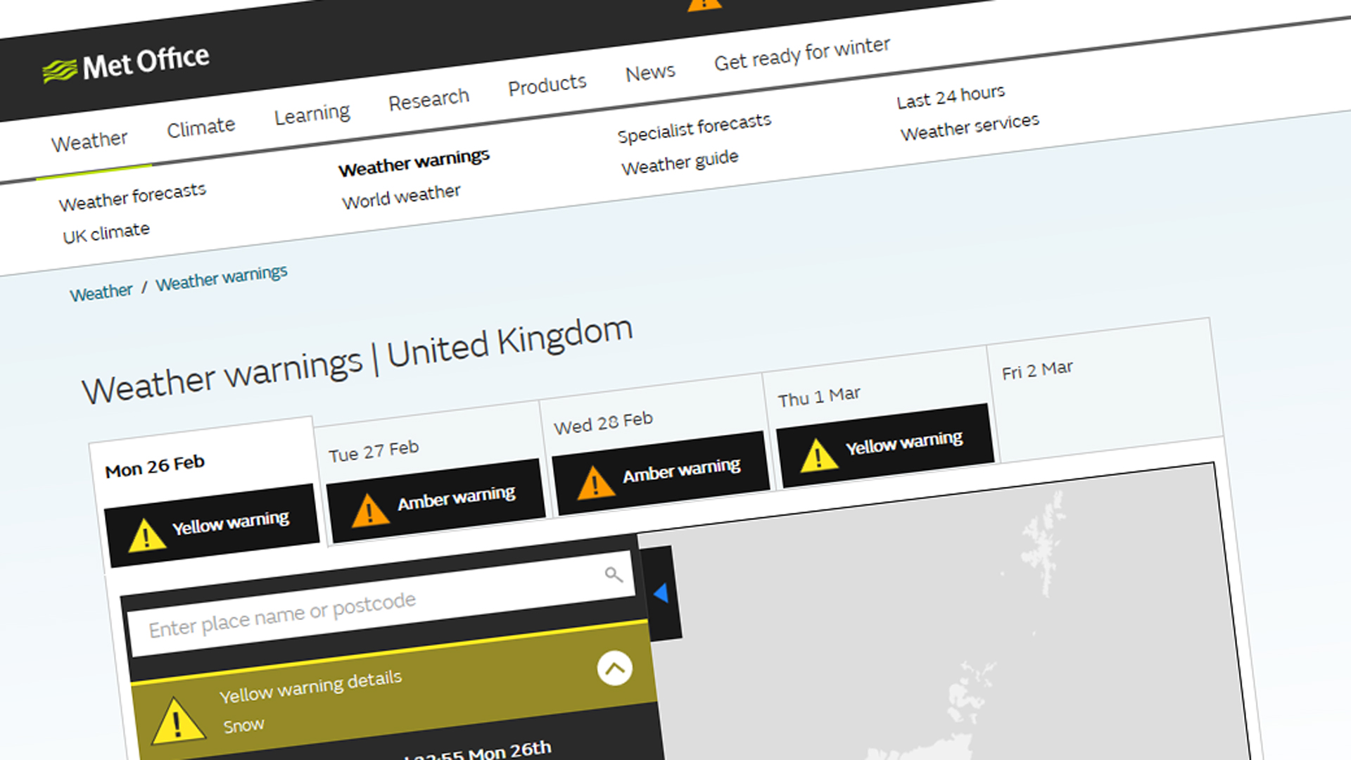
The key pieces of information to note are obviously the colour level of the warning, when and where it’s valid for and what it is warning of.
One thing to take note of with the snow warnings for the first half of this week is that the amounts of snow in each warning area will vary a lot over short distances.
Therefore, the text, for example, may say that there’ll be X centimetres of snow widely, with as much as Y centimetres locally. Or it might highlight that certain locations in the warning area are more likely to see more snowfall than others – e.g. coasts and hills.
Delving just a little bit deeper into the warning will offer extra useful information.
Follow credible and reliable weather sources
This point is more important than you may initially think, but it’s worth making sure that you stay in touch with at least one credible and reliable source of weather information this week.
There’ll be lots of weather information on social media and it’s easy to become overwhelmed and potentially get the wrong impression about what is going to happen.
You may see pictures of colourful snowfall charts generated from various weather computer models. Such charts are generally raw data with little or no human interference.
Human forecasters then take these weather charts, interpret them with their knowledge and experience, before putting together a forecast that is communicated.
So check your sources to make sure you know how trustworthy the information you’re looking at is. You can follow my updates this week on Twitter, Facebook and Instagram, as well as here on my blog.
Don’t rely solely on weather apps and online city forecasts
It’s important not to rely solely on weather apps and online city forecasts for the snow this week, as they largely use automated data and won’t capture the detail of how much snow there will be, where and exactly when.
Such forecasts have little or no human interference and will not capture the hit-and-miss nature of snow showers. They can also cause confusion as regular automated updates can give quite a different forecast from hour to hour.
Also, if you check different weather apps or online city forecasts, they’ll probably have different predictions for the snow and neither may be correct!
Share what’s happening on social media
At times of severe weather, social media can be a good source of seeing what is happening near where you are. It is also a great place to share what you can see – providing it is safe to do so.
Your reports, videos and pictures will be invaluable this week in helping weather forecasters to get a picture of what is happening across the country.
If you want to send me anything, Twitter is probably the quickest and best way. When doing so, please include;
- where you are
- when it happened
- is it getting worse/better
- if you’re happy for your content to be used on TV/online for Channel 4 News
I hope you’ve found this helpful and stay tuned for the latest developments as the week progresses!