On camera: Google Street View’s UK snapshot of our roads
Google extends its Street View images to cover an estimated 95 per cent of the UK’s roads. Stuart McTeer looks at how the search engine’s cameras have caught some quirky sights.
The search engine said its popular, but controversial Street View service now showed images from an extra 210,000 miles of roads across the country.
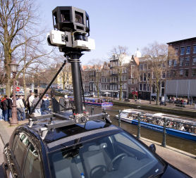
The 360 degree images were snapped by specially fitted cars with cameras on the roof.
Web users can now travel from Land’s End in Cornwall to John O’Groats in Caithness at a click of a mouse.
View Larger Map
View Larger Map
Famous sights, such as Stonehenge in Wiltshire, which are not on the main roads were captured using a camera on a bicycle.
Also captured were some of the country’s more unusual attractions, like the Shark House at Headington in Oxfordshire, although sadly for posterity the builders had arrived first.
The Street View service has proved controversial with privacy campaigners since its introduction in the UK in March 2009, when images from major towns and cities were first published.
Google says its technology blurs car number plates and people’s faces, and web users can ask for a particular image to be removed.
Already the hunt has been on the social network site Twitter to find funny and unusual images.
Pub regulars in Brighton were snapped doing a Mexican wave.
While this insect makes it appear like Stowmarket was targeted by an alien invasion when the cameras rolled by.
These two slightly sinister looking traffic wardens were caught on camera in Somerset.
While it really was the end of the road in the Yorkshire Dales.


